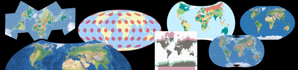
Sat Sep 05, 2026 No political maps anymore
About three years ago, I added a political map for each projection that is listed in my my projection collection. As I explained in the accompanying blog post, I tried to remain politically neutral by using the “Admin 0 – Countries” dataset of naturalearthdata.com, which “shows de facto boundaries by default according to who controls the territory, versus de jure” (quoted from the website).
Of course, looking back, I have to say that this idea was doomed to fail from the start: It is impossible to create a political map without making political statements.
Therefore, the political maps were removed from my projection collection.
The blogposts about my 2023 projection calendar, which showed 13 different political maps,
were deleted as well.
I deeply regret this because the political maps were, in my opinion, a useful tool to compare map projections, to explore their strengths and weaknesses. But I’m talking about map projections here, not politics, and since, as I said, it is not possible to create a map of that kind without being accused of making a political statement, I saw no other solution than to delete them.
Other political maps that I have used here and there in various articles and blog posts will gradually be replaced by maps of different types.
Comments
Due to spam posts, comments are now subject to moderation, which means they remain hidden until they are approved by a moderator.
One comment
Nick
What I'm trying to figure out is why this is exactly a problem though? The political maps are insanely useful, and honestly, I don't care about the map making political statements because all political maps do, so I don't really see it as a problem more than a side-effect.
Anyway, the political maps will be missed, and I hope they're brought back sometime in the future.
 Except where otherwise noted, images on this site are licensed under
Tobias Jung
there have been complaints and accusations of me taking side in a war, some of them (but there were more) can be read on . It probably was a mistake to use the dataset showing "de-facto" borders.
Nick